
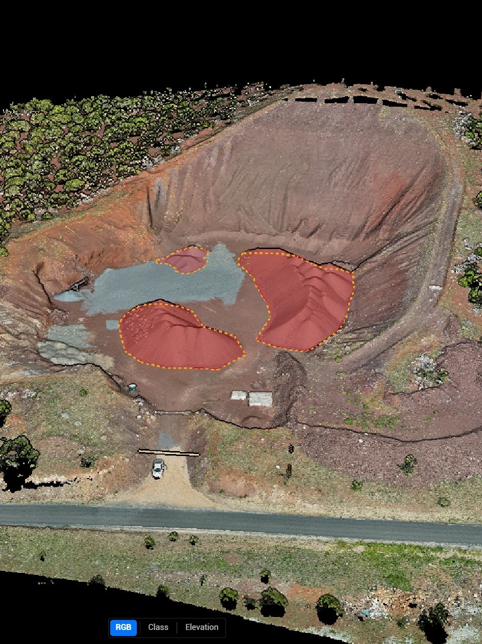
A commercial gravel yard in Holbrook, AZ. Megalith CS captured a full orthomosaic and 3D point cloud during a 25-minute flight. Volumetric analysis of 15 stockpiles was delivered the following morning.
Interactive 3D Model
3D model embed coming soon
Replace embedUrl in properties.json with your Sketchfab or Cesium model URL
Use your mouse or touch to rotate, zoom, and explore the 3D model.
Orthomosaic Map
Terrain & Capture Data
Total Area
4.2 acres
Elevation Range
18 ft
Flight Altitude
200 ft AGL
Ground Resolution
1.2 in/px
Capture Date
2026-03-15
Processing Software
DJI Terra + Agisoft Metashape
Aerial Photographs

Disclaimer: Parcel boundaries shown are approximate and derived from publicly available GIS data. This mapping product is not a licensed land survey and should not be used for legal boundary determinations, title insurance, or permitting purposes without verification by a licensed surveyor.
Want mapping like this for your property?
We fly construction sites, gravel yards, subdivisions, and rural parcels across Arizona. Deliverables typically within 24 hours.