
Advanced Aerial Inspections,
Mapping &
Thermal Imaging.
Construction expertise combined with professional drone technology for roofs, solar facilities, construction sites, stockpiles, and commercial properties.
Aerial Intelligence
For Every PhasE

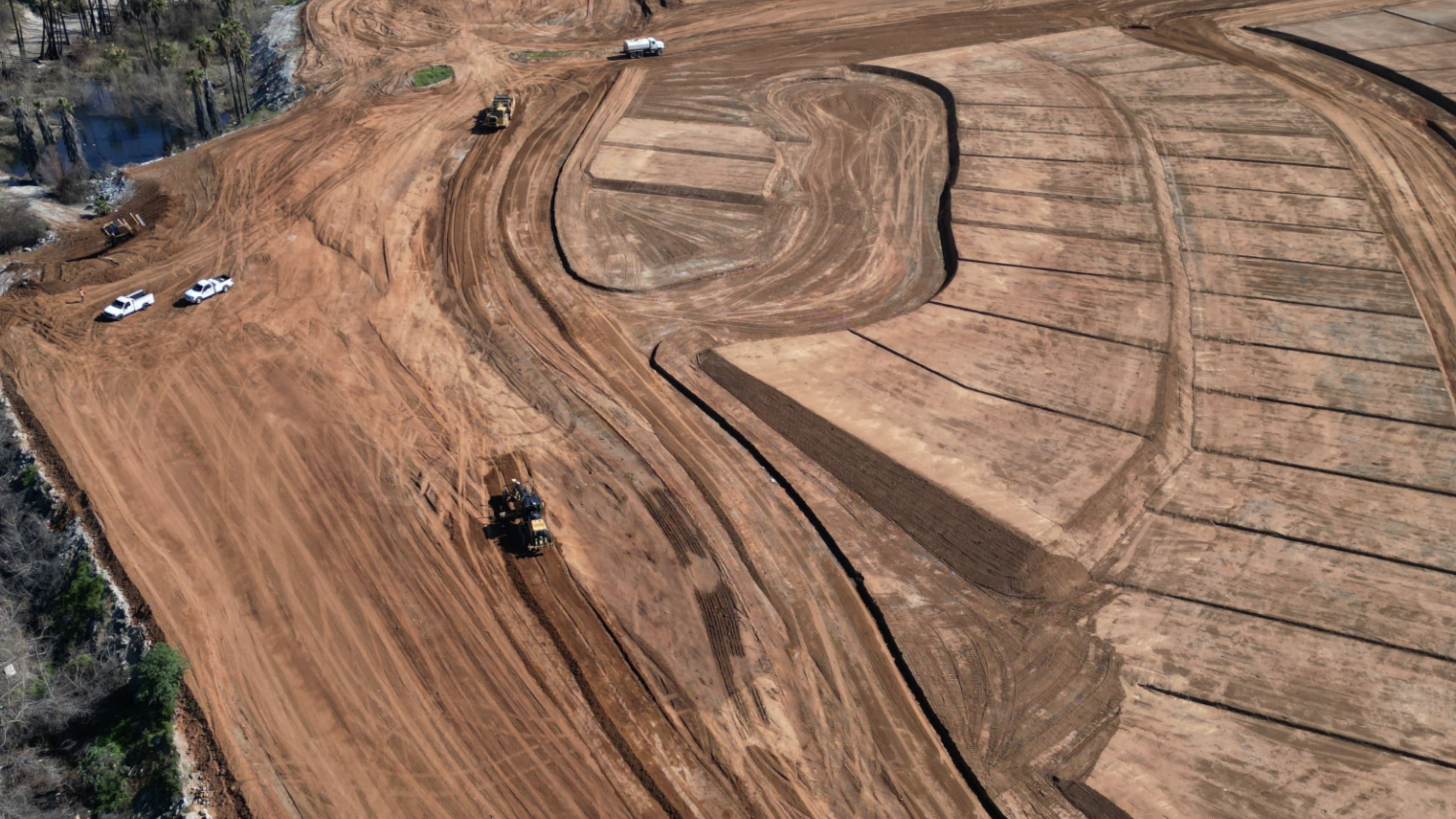
Construction Mapping
Centimeter-accurate terrain models and contour maps for site planning and grading.

Progress Monitoring
Weekly or milestone-based aerial documentation to keep stakeholders aligned.

Volumetric Analysis
Precise stockpile and cut/fill calculations to optimize earthwork and material costs.
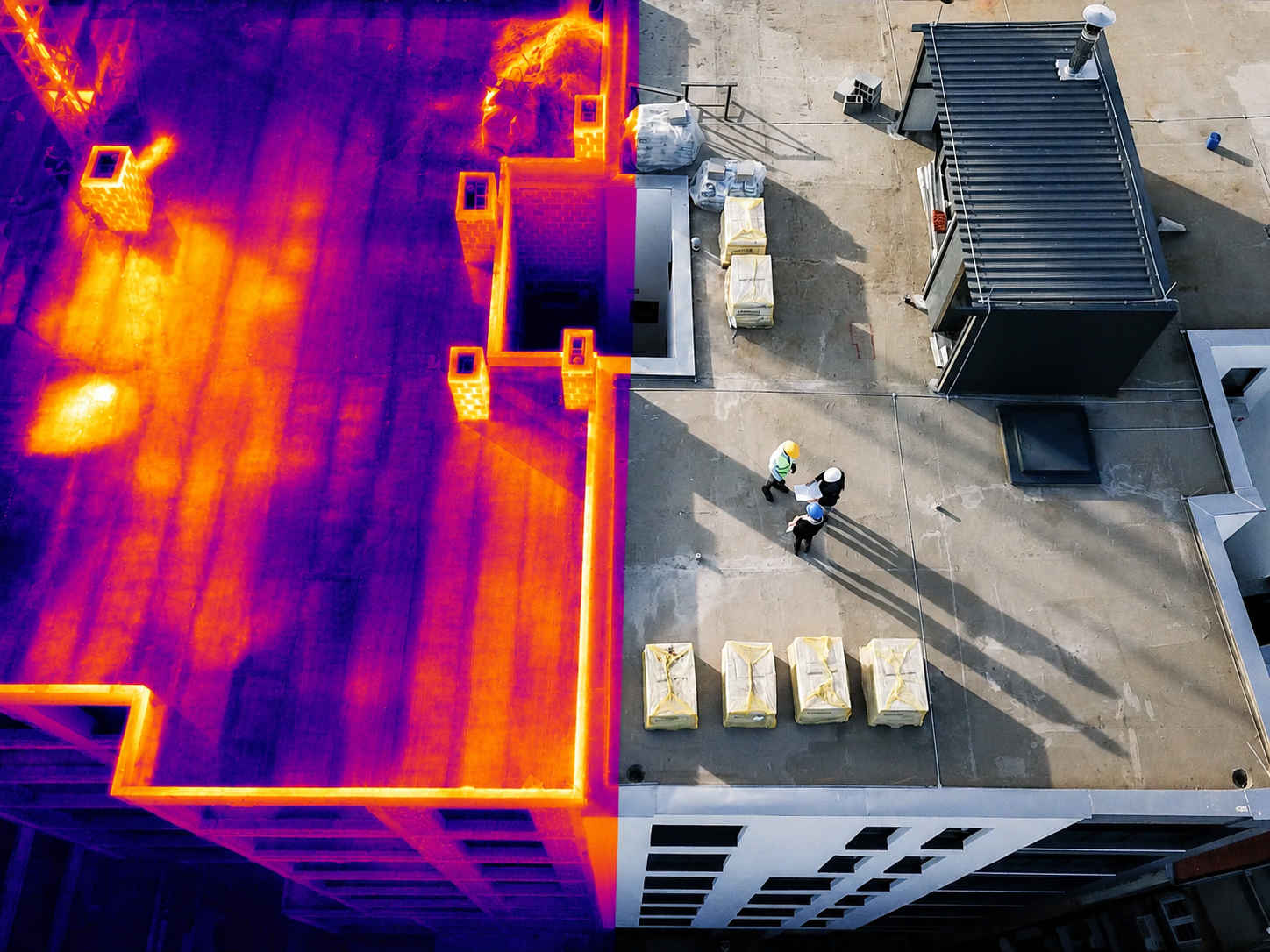
Thermal Inspections
Infrared drone surveys detect moisture intrusion, insulation failures, and heat loss invisible to the naked eye.

Animal Recovery
Rapid aerial search using high-resolution and thermal cameras to locate lost livestock, pets, or wildlife across large terrain.
From Site to Data
In 3 Steps
Site Assessment
We review project scope, site conditions, and regulatory requirements to plan the optimal flight mission.
Flight & Capture
FAA-certified pilots execute precision flight plans using survey-grade equipment for maximum data density.
Deliverables
Processed data — orthomosaics, point clouds, reports — delivered within 48 hours via secure portal.
Get Accurate
Data Fast.
Tell us about your project and we'll respond within 24 hours with a custom quote and flight plan.
- No obligation quote
- Servicing Arizona
- 48-hour data delivery